- PROJECTS
- |
- ABOUT
- |
- INSPIRATION
- |
- TECHNOLOGY
- |
- PROCESS
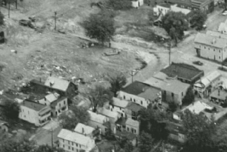
Little Italy - Piccola Italia
Historical 3D Virtual Recreation:
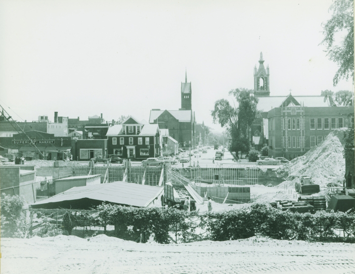
The Champlain Street Urban Renewal Project
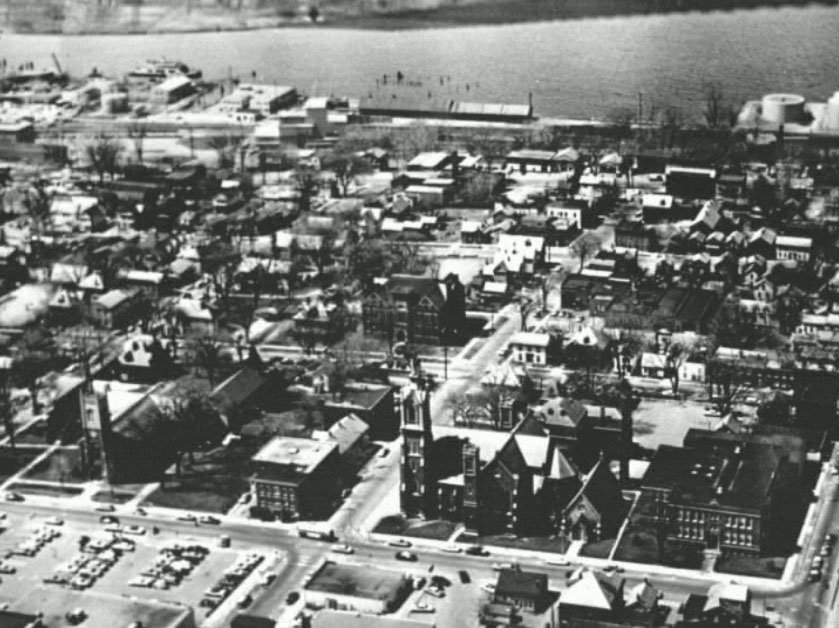
Burlington, Vermont - 1965
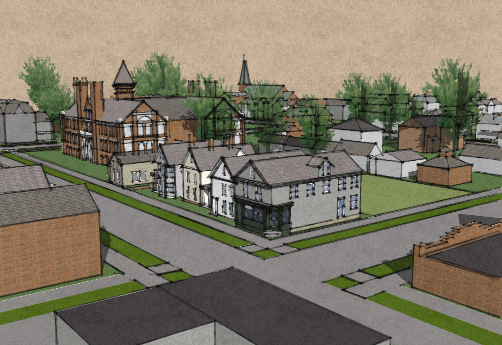
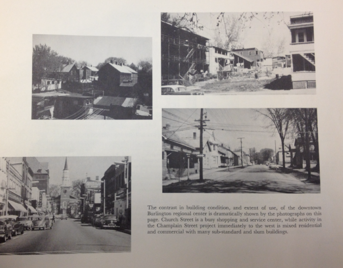
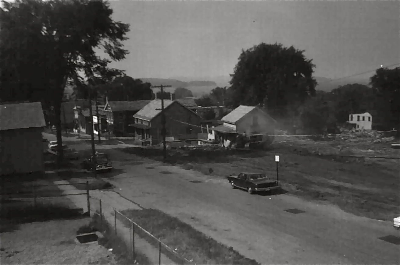
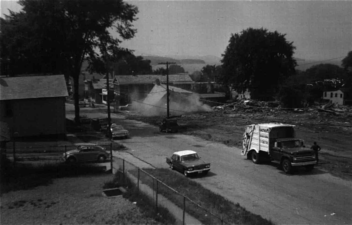
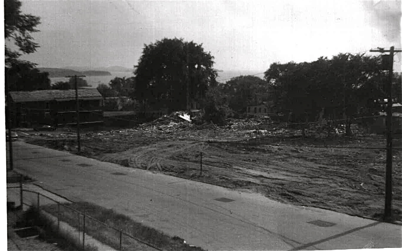
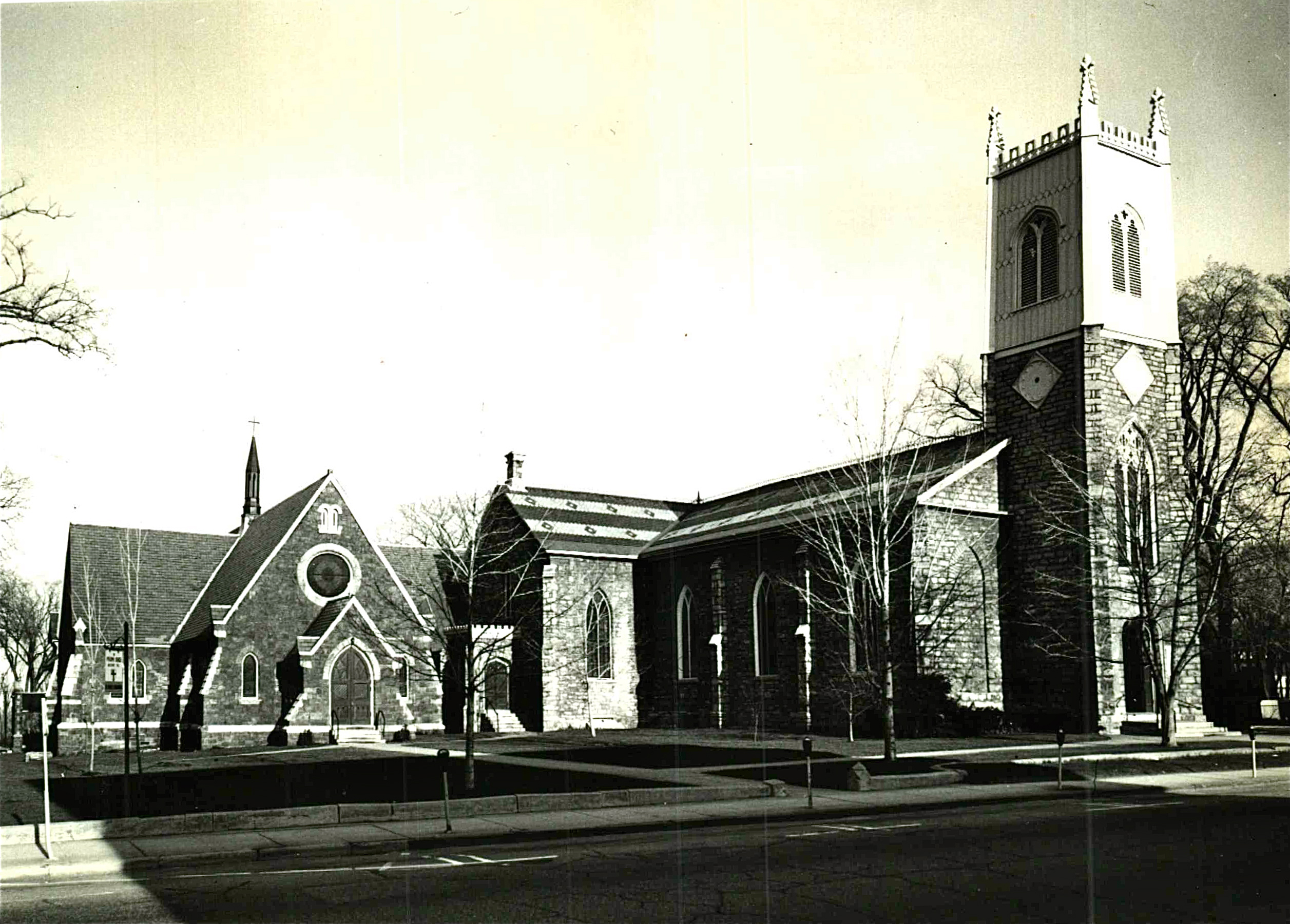
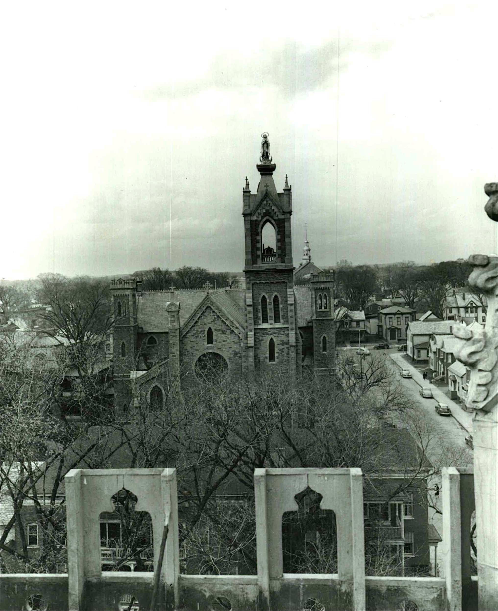
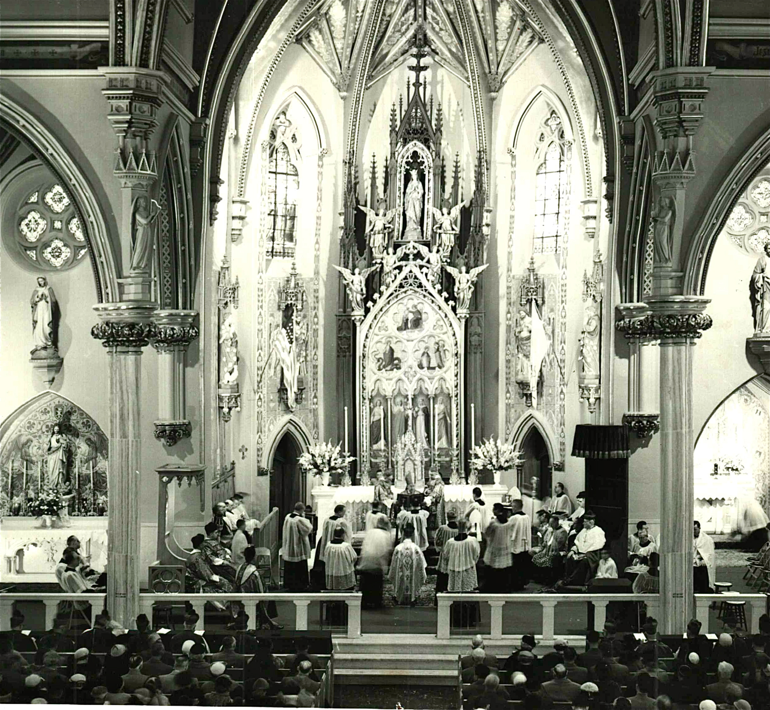
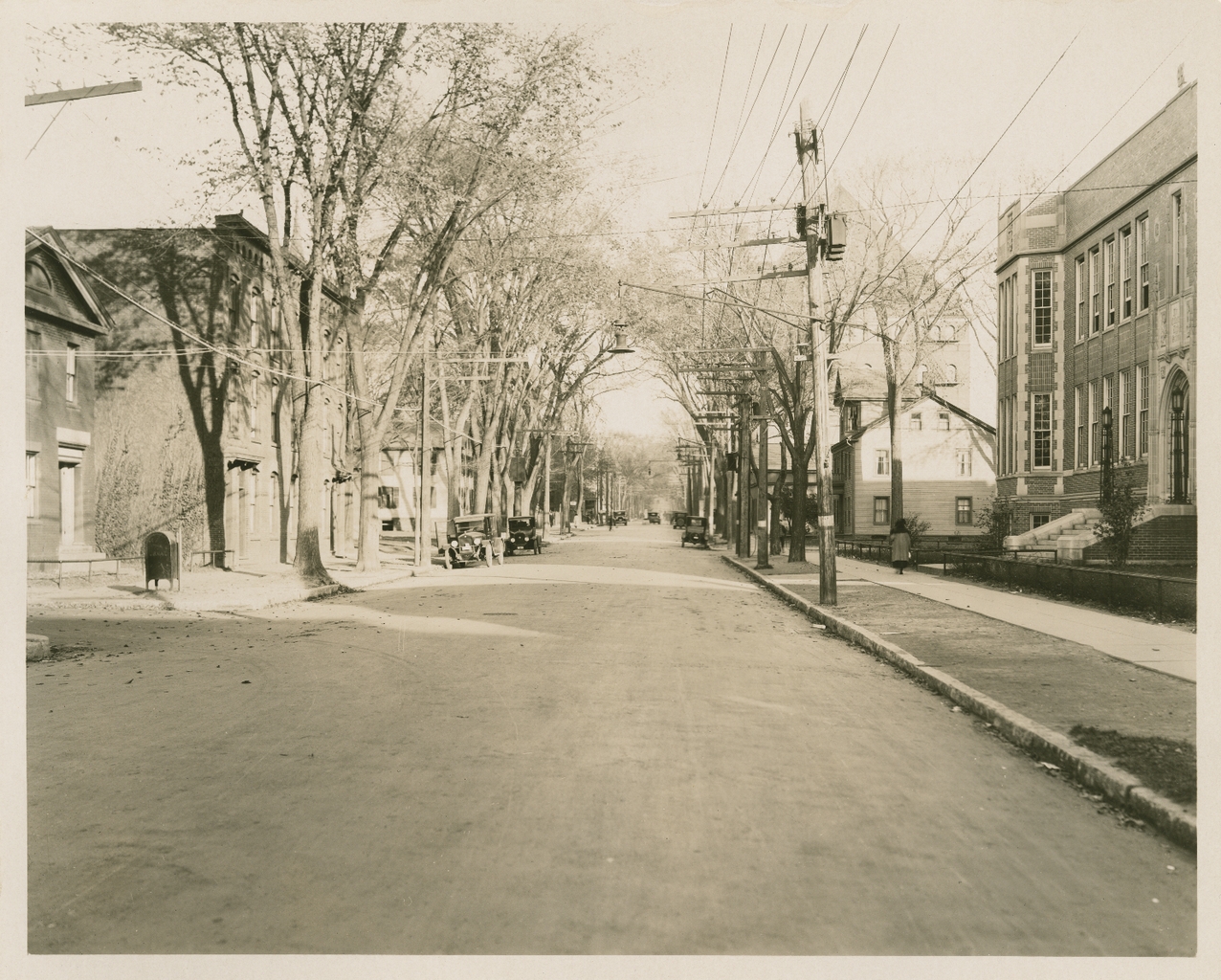
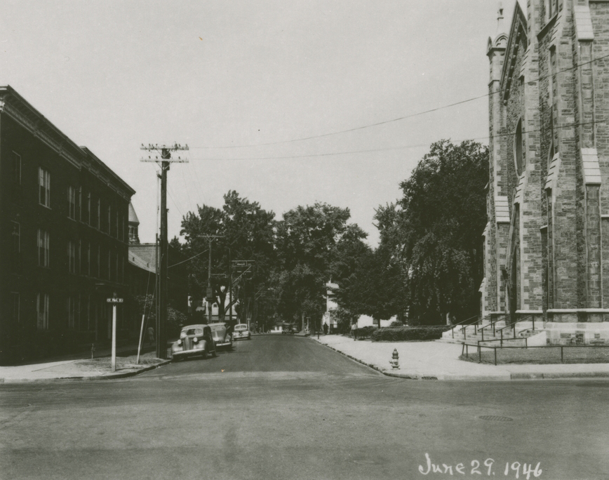
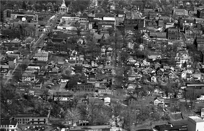
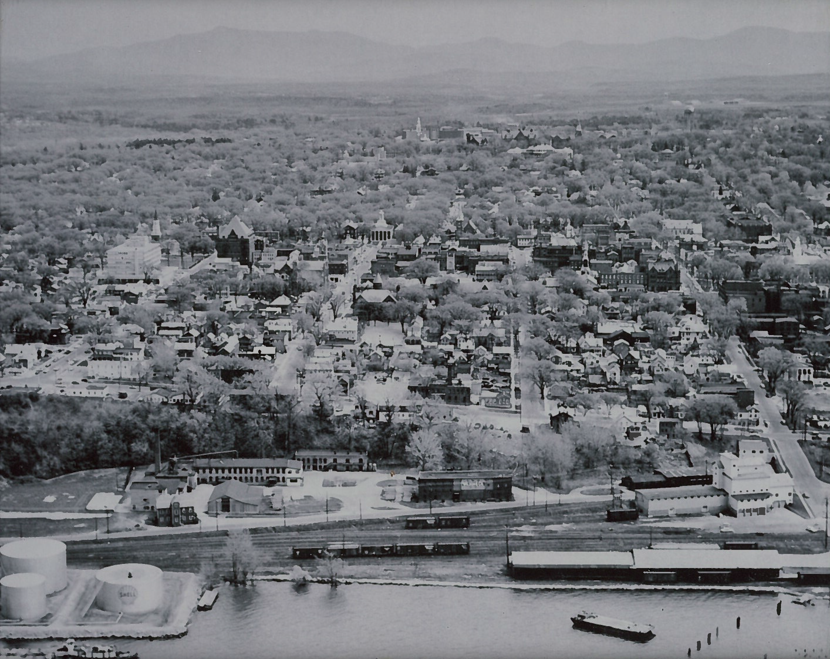
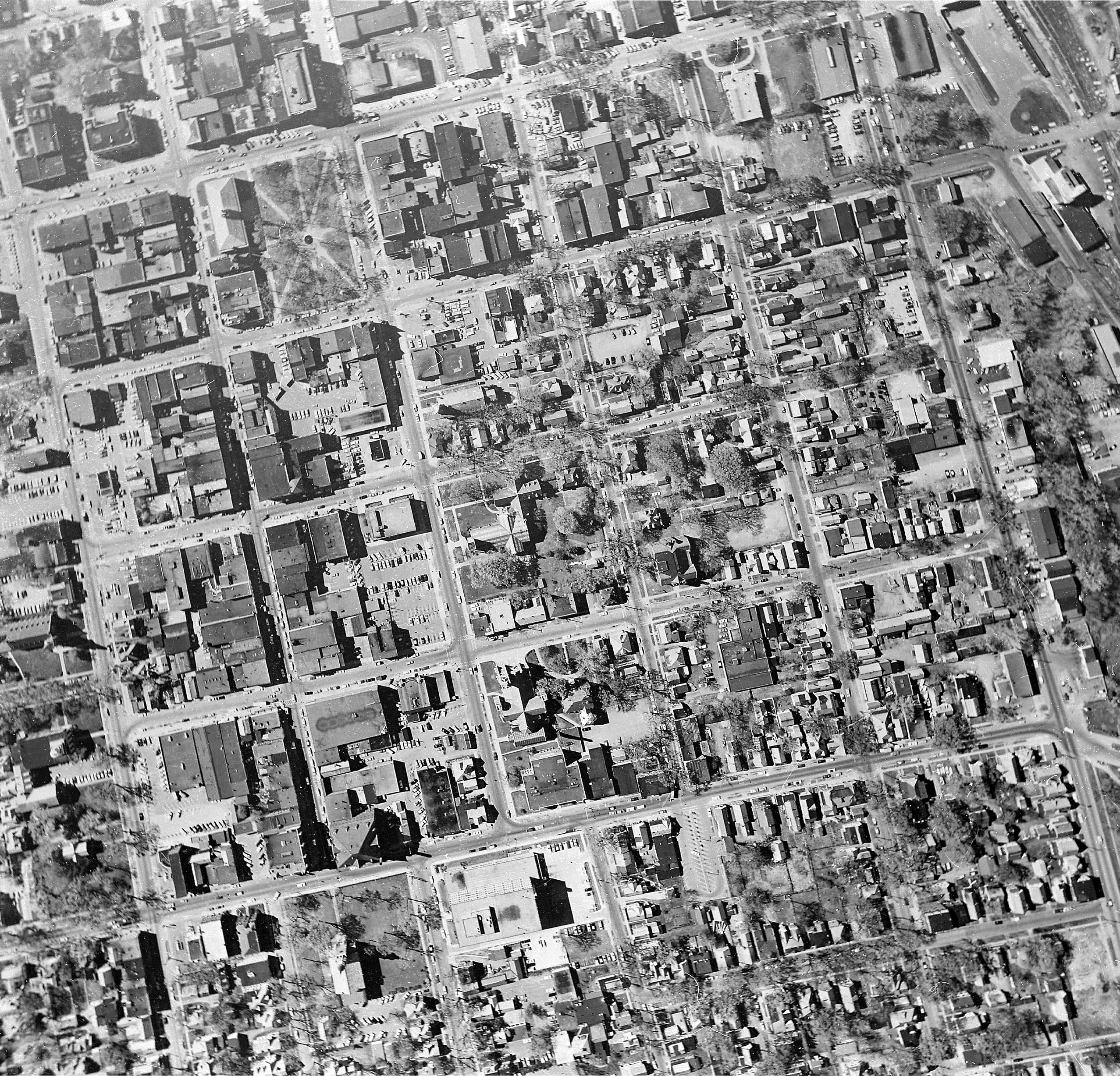
Beginning in the early 1900s, this area housed numerous emigrants. Many moved here from Italy with hopes to build better lives. Some worked for the lumber mills and railroad yards that bordered the lake. In the process, they created a community of over 140 homes, lush gardens, thriving businesses, community social centers and Catholic schools and churches.
In the 1960s this area became the center of Vermont’s largest urban renewal project. The final home was razed in 1968. Displaced families were scattered into the outskirts of Burlington. In place of this once vibrant family neighborhood stands a dynamic downtown district, internationally known as a social and economic center of Vermont.
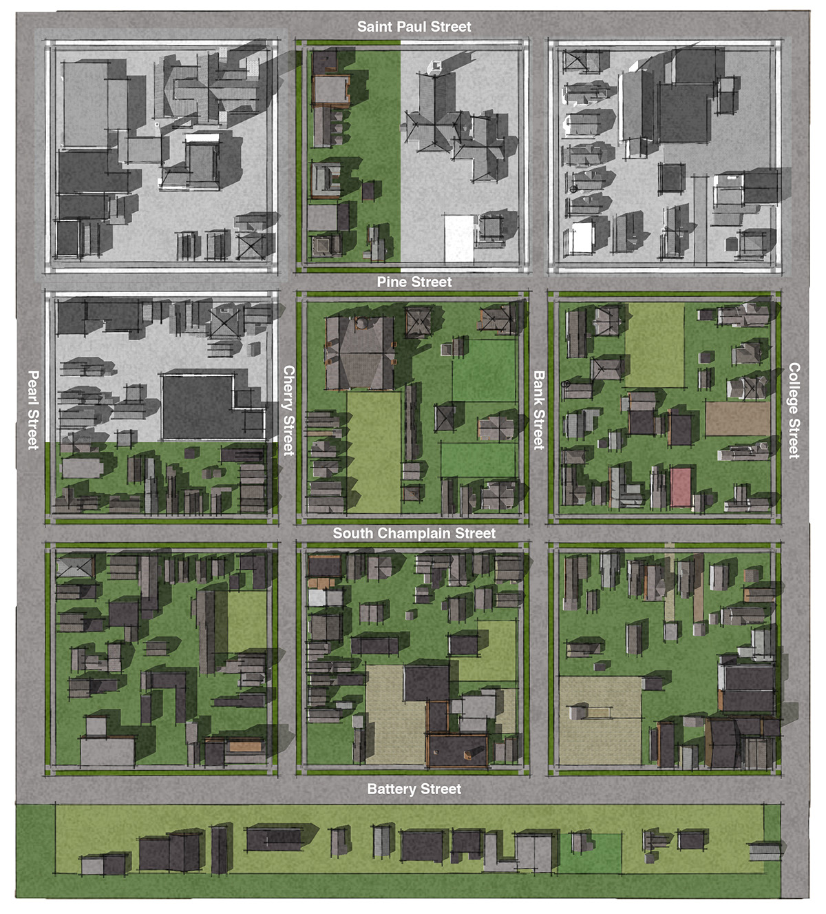
Interactive Map
Colored area represents the buildings that were demolished during the Champlain Street Urban Renewal Project
Click on colored blocks to be able to select specific buildings and see photos, address and additional information.
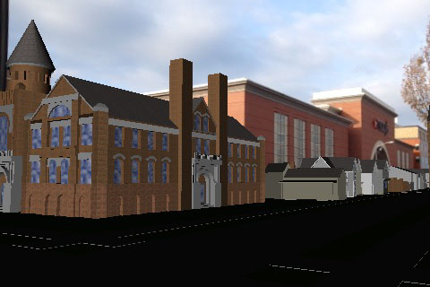
Augmented Reality - GPS
Using your smartphone's GPS, you can interact with a 3D version of the neighborhood (You must be physically in the area to see buildings)
Download AR Media - Player Application
Download Model
![]()
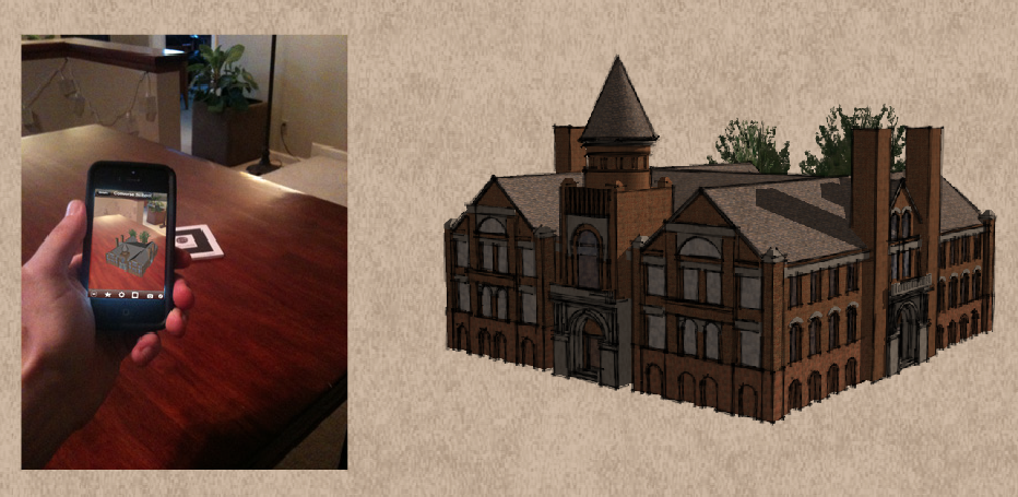
Augmented Reality - Tracker
Using your smartphone or computer, you can interact with detailed 3D models of buildings (You need to print out marker)
Download AR Media - Player Application
Download Model - Little Italy
Download Marker
![]()
Exhibits | Collections
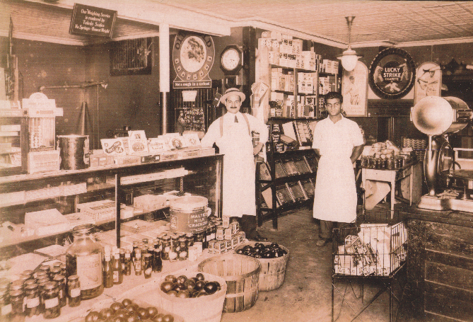
Bellino's Grocery–1928
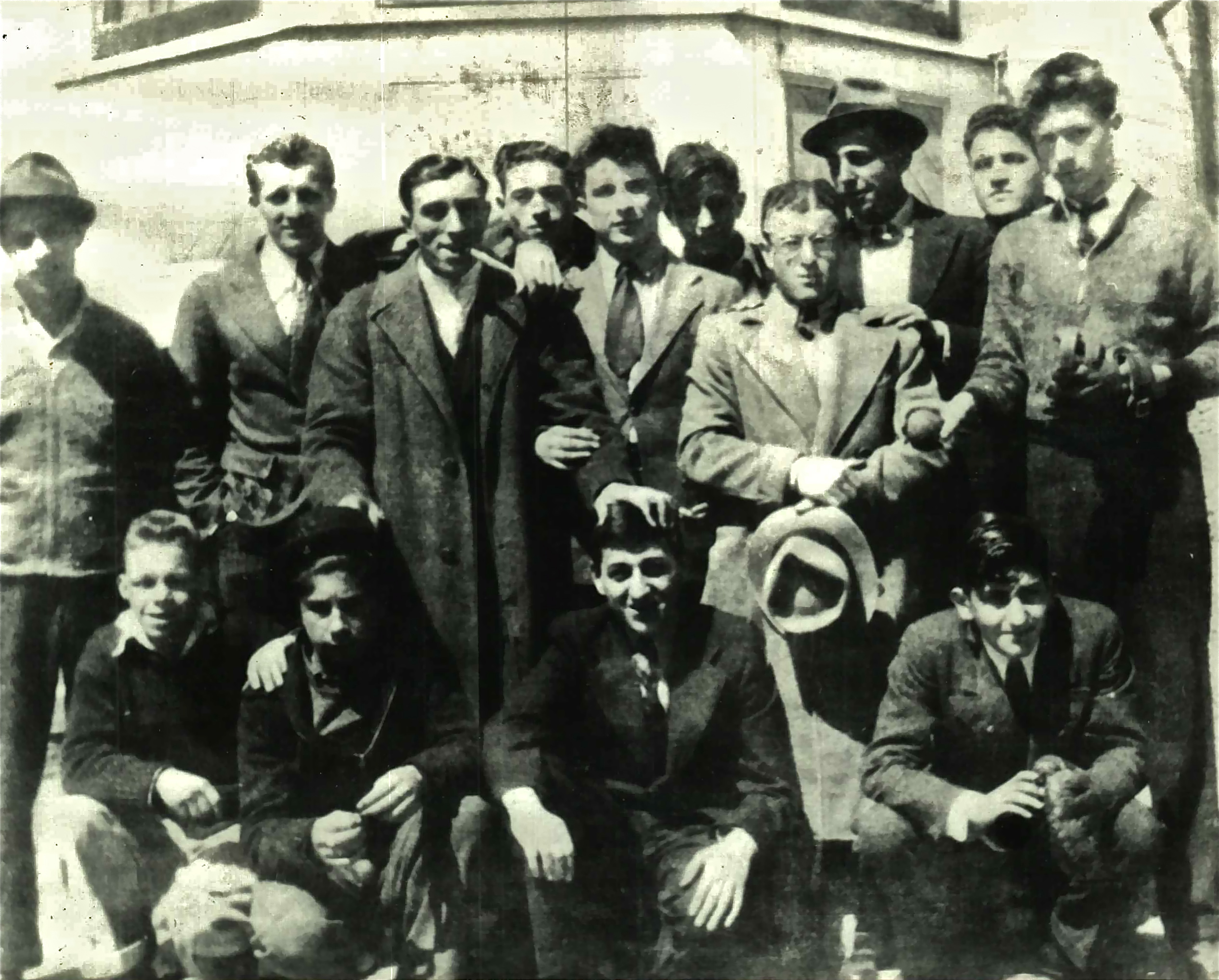
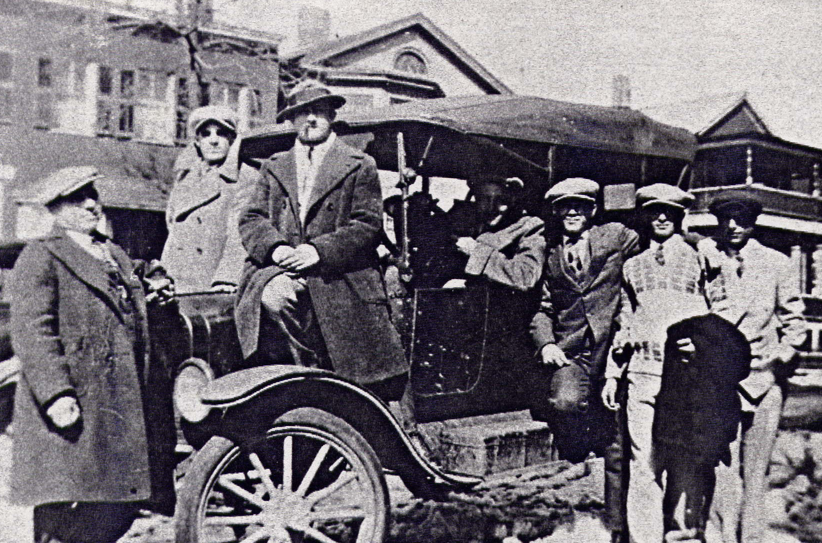
Cherry Street Gang
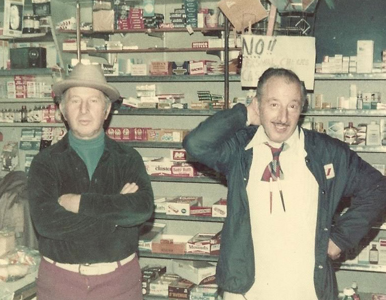
Chi Chi and the Boys
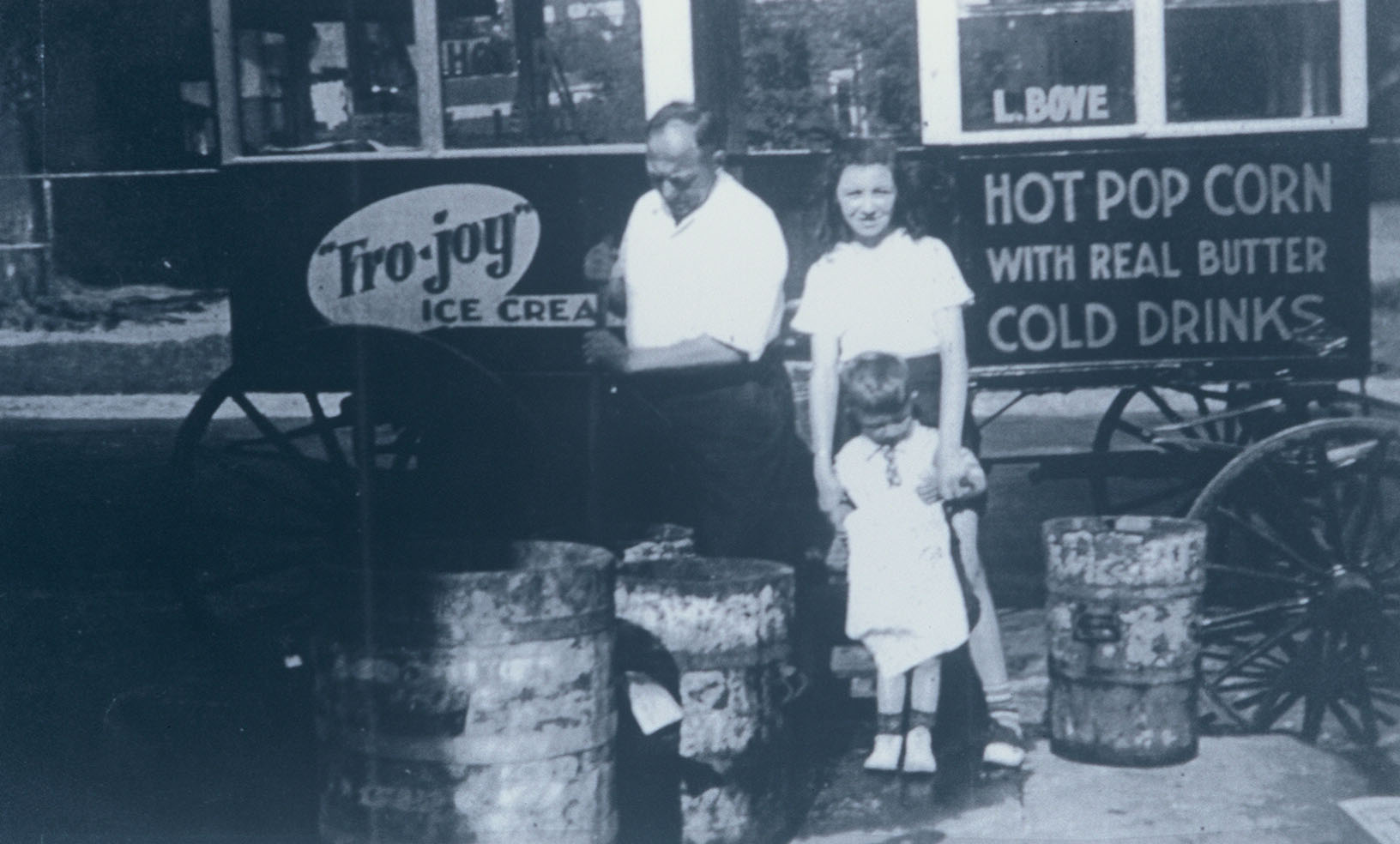
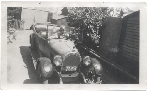
Louis Bove
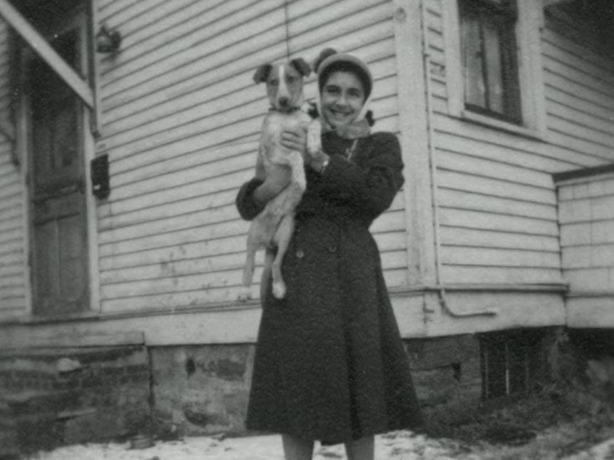
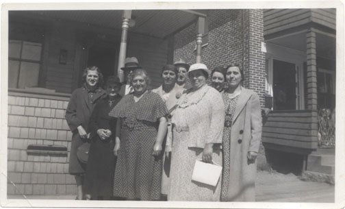
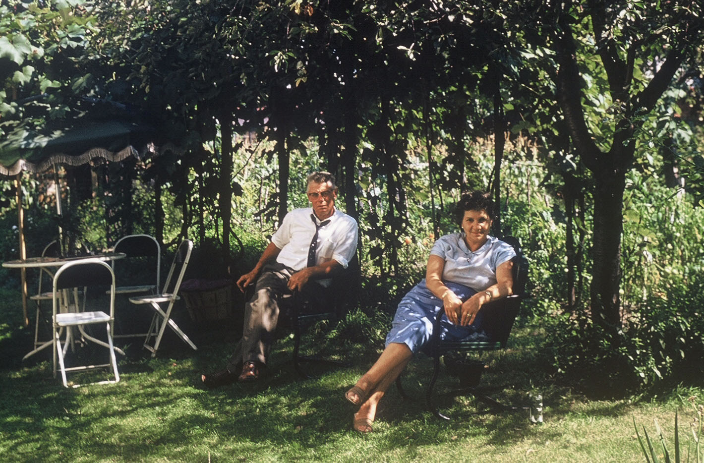
Monica Farrington

Merola's Closing
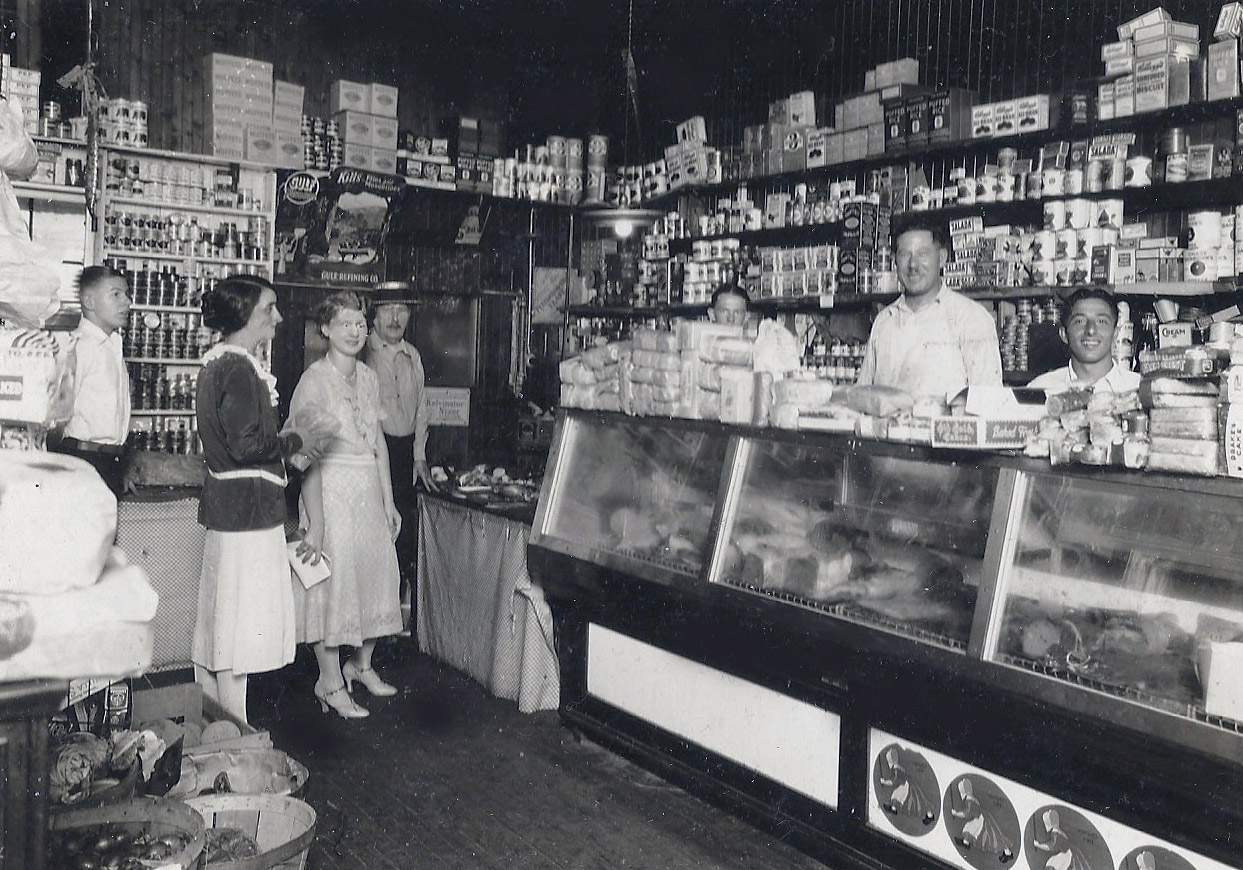
Izzo's Market–1930
Izzo's Market
Maiettas
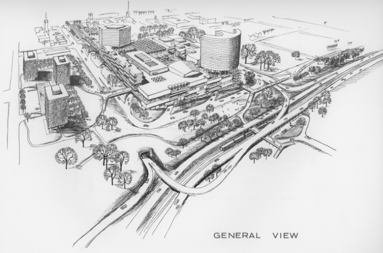
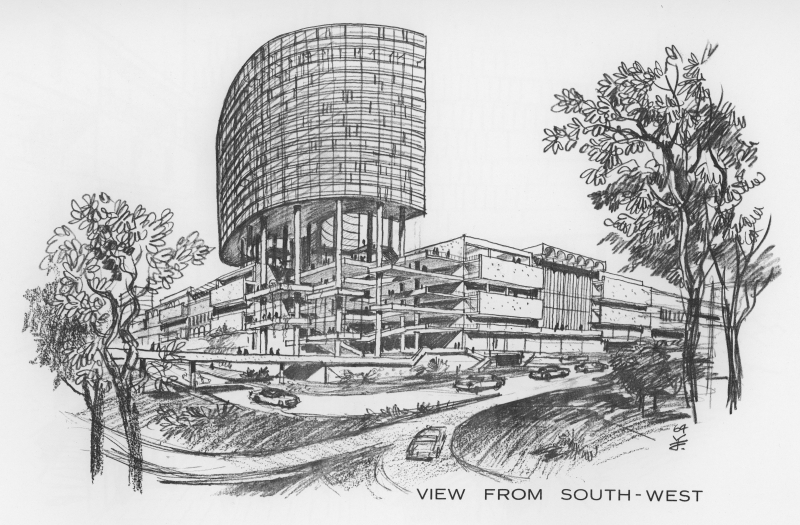
Initial Proposal
Detail
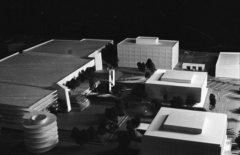
Secondary Proposal
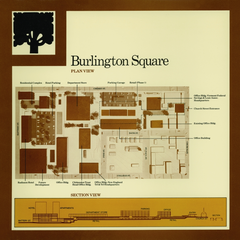
Burlington Square Plan
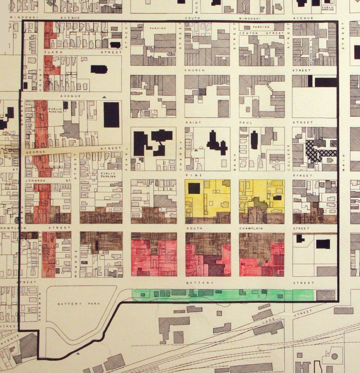
Burlington Construction / Demolition Map 1964
Original plans involved widening parts of North and South Champlain Street and creating a new extension to Grant Steeet that connected to Sherman Street.
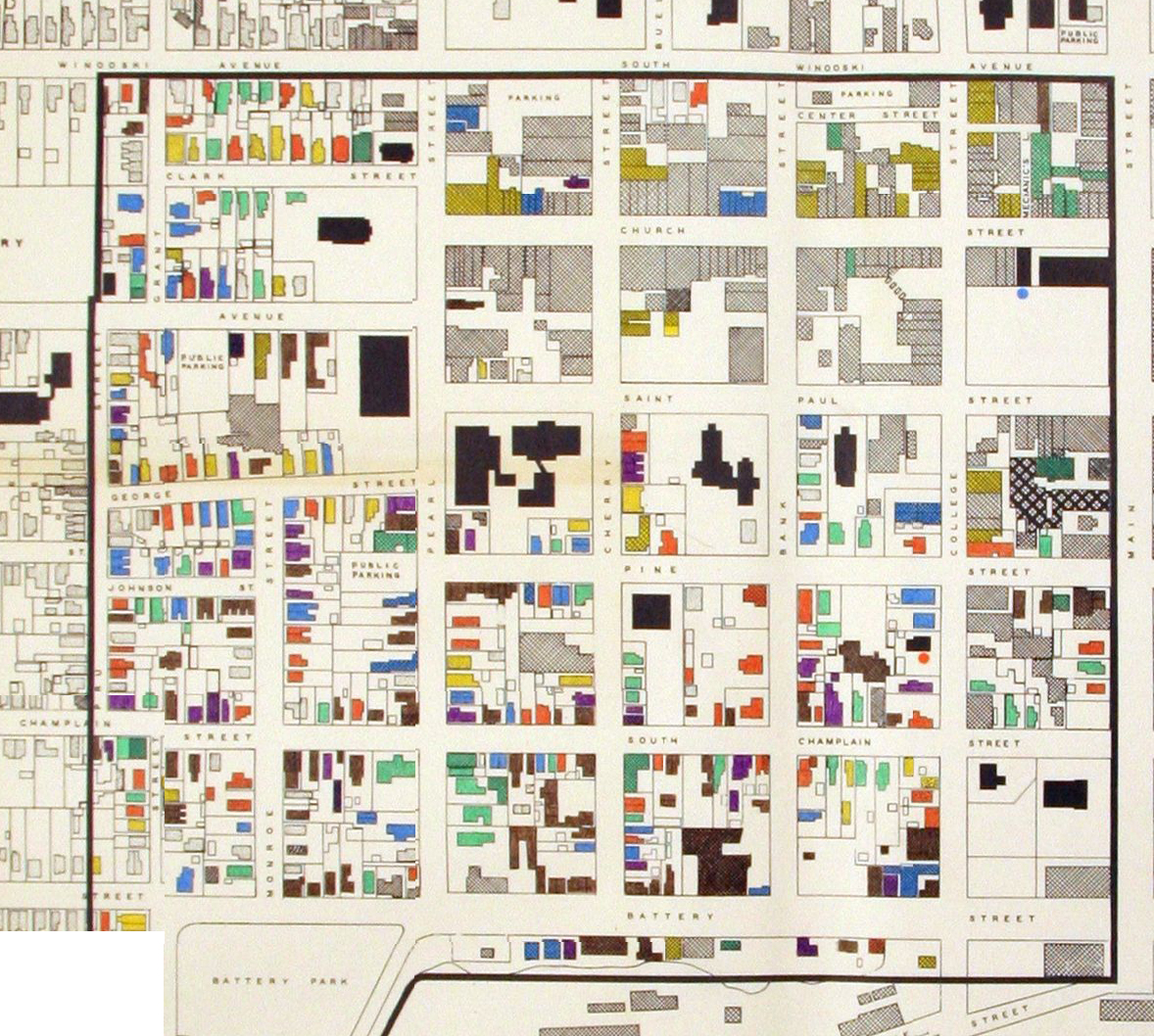
Detorioration Map 1965
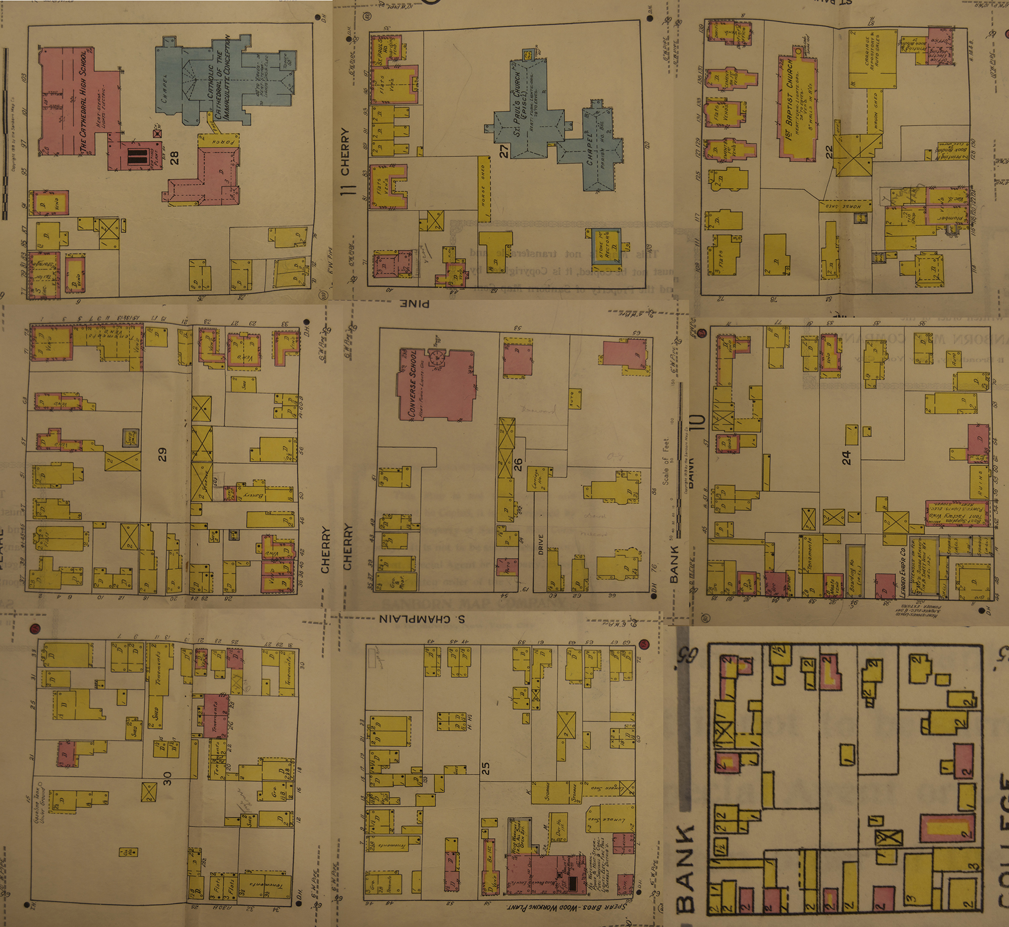
Sanborn Map–1919